

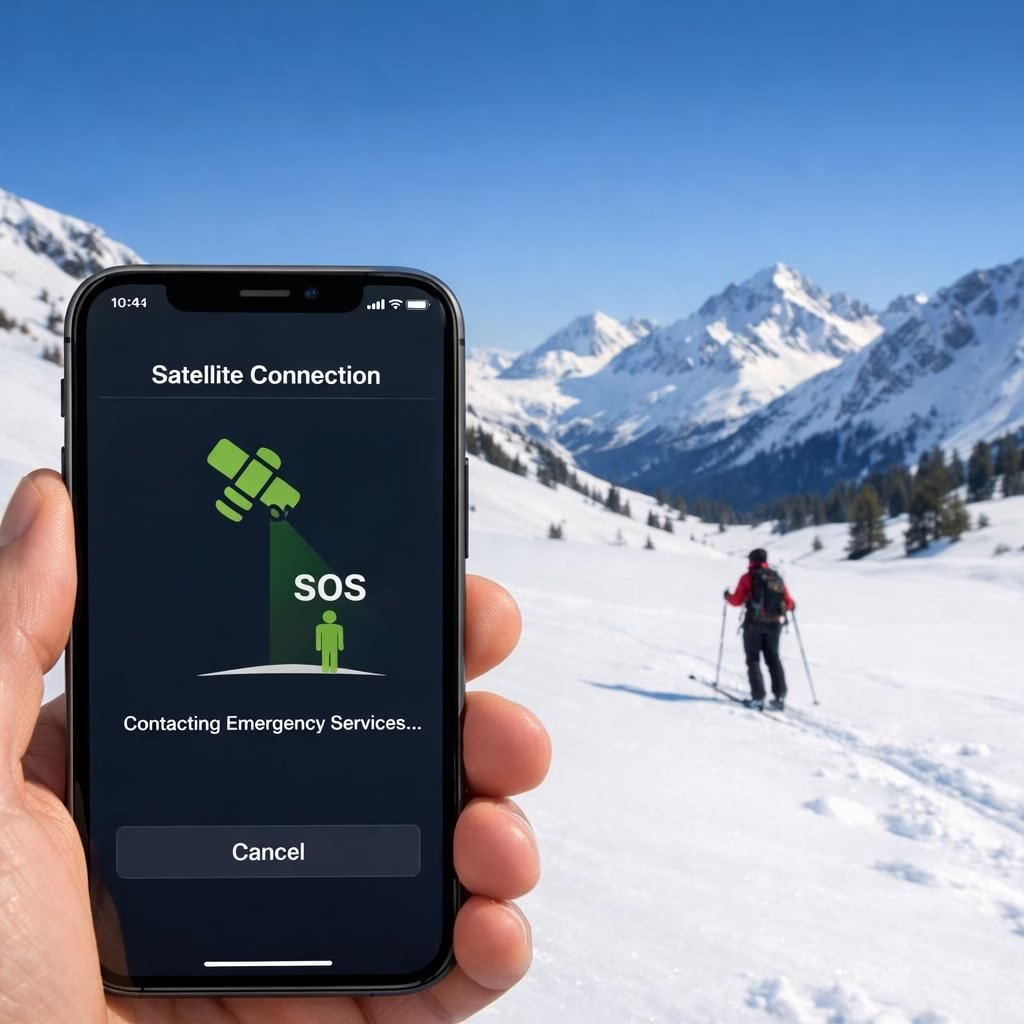
SatelliteSOS and iPhoneSOS on the Mountain
On the winter slopes of 2026, SatelliteSOS and iPhoneSOS are not flashy gimmicks or pitch-day miracles; they are serious safety tools that quietly redraw the rescue map. When cellular networks vanish behind a ridge, these two features work together to transmit a distress signal via satellite, giving rescuers a fighting chance when time itself seems to vanish in the powder. In the backcountry, where every run carries a whisper of risk, SatelliteSOS and iPhoneSOS act as a promised lifeline. The message is simple: press the button, let the satellites do their job, and hope responders can locate you with less guesswork than a snow-covered breadcrumb trail. This blend of practical tech and stubborn optimism is precisely what we need on a powder day: a tool that respects skill, not just bravado. And yes, this piece nods to the reporting that originated in The New York Times, which first raised public awareness about these rescue capabilities.
SatelliteSOS iPhoneSOS: Real-world value on the mountain
In real life, a satellite link is more dependable than a coffee stand on a crowded ski day. The system leverages satellite networks to relay a compact distress message with your location, even when you have zero cell service. A skier or snowboarder can trigger Emergency SOS, and the phone beams a beacon that rescue centers can trace. The advantage is concrete: responders waste less time triangulating your position and more time moving toward you with the right gear. The process is fast, but not instant; you still need sky exposure, a charged device, and calm hands on the controls. Practically speaking, you should expect a moment to set expectations, because weather, terrain, and battery life all affect performance. That means you should carry extra power, pre-download critical maps, and keep your device within reach during line-of-sight windows. SatelliteSOS and iPhoneSOS work best in open alpine zones with clear skies, not in deep forest canyons or narrow valleys where signals can get fickle. The point is simple: plan ahead, monitor your battery, and respect the physics that make satellite texting possible. When used thoughtfully, SatelliteSOS and iPhoneSOS shorten the distance between trouble and help, which is exactly what every backcountry traveler hopes for on a long ascent.
For added precision in the field, some teams pair SatelliteSOS with precise location-sharing tools. What3Words technology, for example, helps responders pinpoint a hiker’s position using a simple three-word address. If you’re curious, read more about What3Words on our related article, which explores field-tested uses in backcountry rescues. What3Words technology.
SatelliteSOS iPhoneSOS: How the tech talks to a rescuer
What happens after you push the SOS button? The phone prepares a compact message that includes GPS coordinates, a concise description of the situation, and a path to contact local responders. The rescue center receives a precise location and a minimal, actionable payload—no need for a dramatic long-winded plea. This streamlined communication dramatically reduces the search area, giving responders a head start when seconds count. But the system is a supplement, not a substitute, for good avalanche training and hazard awareness. iPhoneSOS users still need a beacon, training, and terrain-reading instincts. Practically, you should verify that your device’s Emergency SOS via Satellite is enabled in settings, keep the device charged, and practice a quick, calm sequence for emergencies. Guides and backcountry teams emphasize that a well-practiced routine complements the technology, turning potential chaos into a measured response. In short, SatelliteSOS and iPhoneSOS empower you to act with clarity when the mountain demands it, while still respecting the limits of backcountry risk and weather conditions.
SatelliteSOS iPhoneSOS: Lessons for skiers and guides
As backcountry groups begin to treat satellite-based emergency features as fundamental, safety briefings now include a dedicated segment on how to use SatelliteSOS and iPhoneSOS effectively. The advice is practical: check the sky before you commit to a line, pre-download offline maps, designate a rendezvous point, and keep a charged device accessible. The tech message is crisp: the emergency SOS via Satellite is a powerful ally, but it does not replace hands-on avalanche awareness, terrain assessment, or solid decision-making. For guides, this shift means rethinking risk management in a 2026 landscape where technology augments, but does not erase, human error. Community knowledge sharing becomes more valuable than ever, with people swapping tips on charging strategies, best device settings, and field-tested steps to maximize response times. The result is a culture that treats backcountry safety as a shared responsibility, where technology and judgment work in harmony. SatelliteSOS and iPhoneSOS remind us that help can be closer than expected, even when you cannot count on traditional cellular networks to save the day.
Acknowledging the broader context, this technology also invites ongoing conversations about accessibility, coverage, and training. While not every slope offers perfect satellite visibility, the improvements are clear: more people have a higher chance of surviving under adverse conditions. The tone here remains hopeful, practical, and lightly humorous, because a little levity can steady nerves when the wind picks up and the slope steepens. If you’re curious about how these tools perform in varying conditions, the best path forward is to test settings before you head out and to share experiences with the community so others can learn from real-world trials.
Original reporting from The New York Times: https://www.nytimes.com/2026/02/18/us/apple-iphone-sos-satellite-rescue.html. Thank you to The New York Times for the original material that informed and inspired this post.
FAQ
- What are SatelliteSOS and iPhoneSOS? They are satellite-enabled emergency signaling features designed to speed up rescue when cell networks fail.
- Do these tools replace avalanche training? No. They supplement training, beacons, and terrain awareness.
- How reliable are they in deep forest or narrow canyons? Performance depends on sky visibility and device power; signals can linger or weaken in tricky terrain.
- Can I test these features safely before a trip? Yes—practice sequences, check settings, and practice in daylight conditions to build familiarity.
Practical tips for using SatelliteSOS and iPhoneSOS on the mountain
- Check the sky and avoid deep shadows or canyons when you plan a line.
- Pre-download offline maps and essential routes for quick reference if signals falter.
- Keep a fully charged device and consider a portable charger to extend run time.
- Practice a calm emergency routine so you can act promptly if needed; consider What3Words technology for precise location when needed.
Conclusion
SatelliteSOS and iPhoneSOS are powerful additions to backcountry safety, but they work best when paired with solid training and prudent decision-making. They do not replace skills or terrain awareness, yet they can dramatically shrink the search area and speed rescues when visibility is compromised. In the end, the mountain rewards preparedness, not bravado, and a well-practiced routine with these tools can make the difference between a long day and a quick, practical recovery.
References
- Avalanche Canada: Avalanche Canada
- Apple Support: Apple Support
- Original source: The New York Times – Apple iPhone SOS satellite rescue