

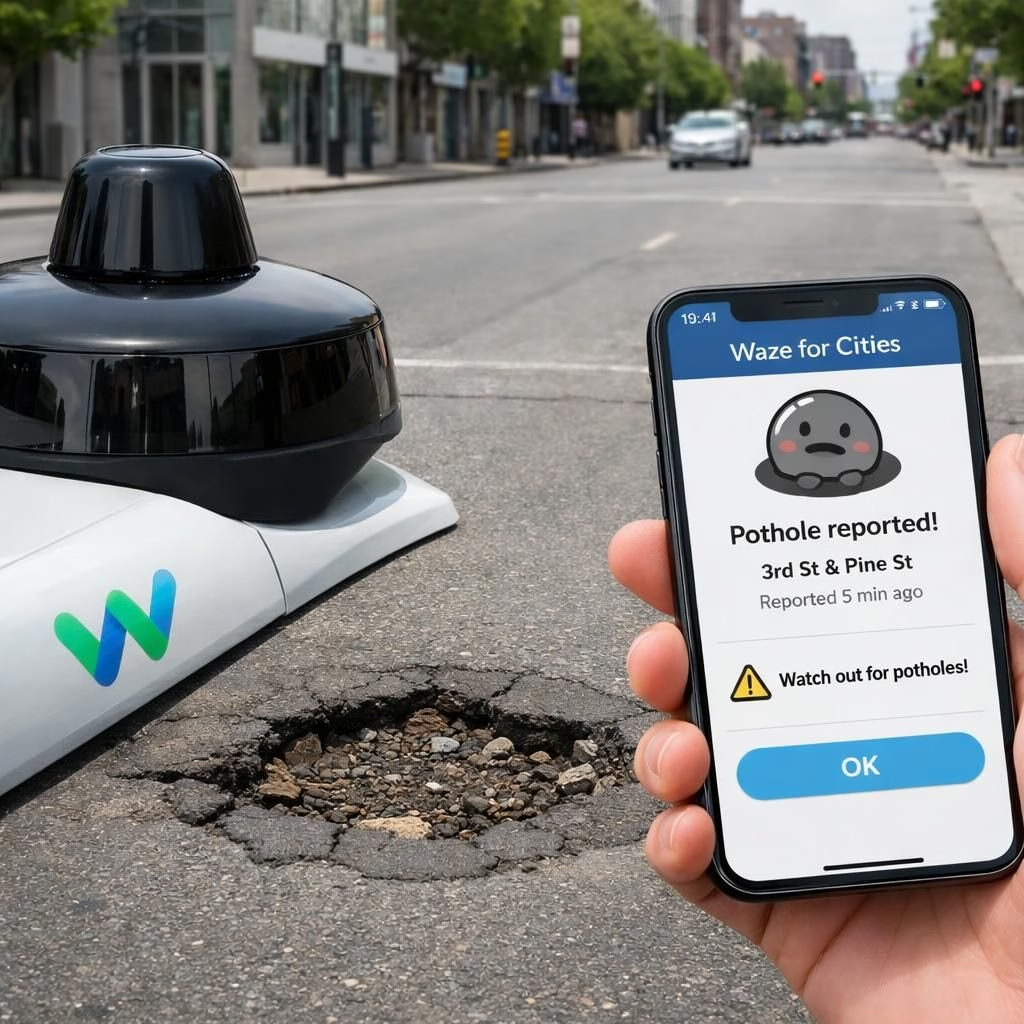
In 2026, potholes enter the data era as Waymo and Waze launch a joint pilot that turns street flaws into shareable information. The focus is potholes and data-sharing, two ideas that sound dry but fuel real safety gains. Waymo’s robotaxi sensors will feed the Waze for Cities platform, letting cities watch road quality in near real time. The goal is to reduce maintenance gaps and speed repairs before a crater in front of a bakery becomes a daily meme.
Potholes and data-sharing in action
Here’s how it works in practice. Waymo’s perception stack—cameras, lidar, radar—continually scans the road as its robotaxi cruises.
Those sensors detect rough patches and potholes, then feed the data-sharing pipeline.
Waze already crowdsources potholes, but this setup adds an automated detection layer.
City officials can view dashboards, download feeds, and assign repair tasks without waiting for a resident to file a report.
The data is visible to Waze users, who can verify potholes to improve accuracy.
The result is a more complete picture of potholes and other road hazards accessible to agencies and citizens alike.
The system also helps flag similar issues—cracking paint, subtle rutting, or sudden edge ruts—that a human eye might miss during daily patrols.
Potholes and data-sharing benefits for cities
Officials say the programme targets maintenance gaps created by overdue responses and reliance on traditional reporting.
Crowdsourced reports are helpful, but they can be slow or incomplete.
With automated detection, cities gain a proactive edge; the data-sharing approach speeds repairs.
The pilot started in five locations—the San Francisco Bay Area, Los Angeles, Phoenix, Austin, and Atlanta—and Waymo has already identified around 500 potholes.
The plan is to scale up as operations expand.
Real-time alerts in the Waze app will help drivers, cyclists, and pedestrians avoid the worst stretches while repairs are scheduled.
In short, potholes become solvable problems when data-sharing accelerates.
The initiative also helps municipal workers triage more effectively, allocating crews to the city’s biggest pain points rather than chasing the loudest squeak in the crowd.
Future scope and practical considerations
Industry observers see this as a natural step in how autonomous-vehicle tech contributes to public infrastructure.
Waymo’s fleet, equipped with lidar and other sensors, can continuously scan road conditions.
The data-sharing approach aims to deliver faster responses and better prioritization, rather than mere novelty.
City leaders note the value of partnering with tech firms to complement traditional inspections, not replace them.
The result could be a more reliable road network with fewer surprises.
It’s a practical example of public-private collaboration that doesn’t require endless meetings, just smart data and decent hardware.
We also hear cautious optimism from researchers and city staff.
Experts at NYU’s Rudin Center say this kind of collaboration can improve travel safety and infrastructure management.
Transparency and privacy considerations matter, and the pilots include safeguards to prevent misuse.
As Waymo and Waze expand, they’ll need to maintain trust with residents and ensure the system remains useful, not overwhelming.
The human factor—drivers, riders, and city crews—stays central, even as sensors take on more of the duty to detect potholes.
Some skeptics remind us that data is only as good as the people who interpret it—so training for city staff remains essential.
Closing thoughts on potholes and data-sharing
Overall, the pilot demonstrates a simple, human-friendly idea: share road-condition data to fix problems faster.
If the collaboration scales, more cities will gain a clearer, faster path to safe streets.
The combination of Waymo’s sensors with Waze’s crowd insights provides a balanced blend of automation and human verification.
It’s a model of cooperative progress that should make road users smile, even when they encounter a pothole.
In the end, potholes and data-sharing are practical tools for everyday mobility.
External context
For background, see Waymo’s official blog post on the collaboration and Waze’s Cities program.