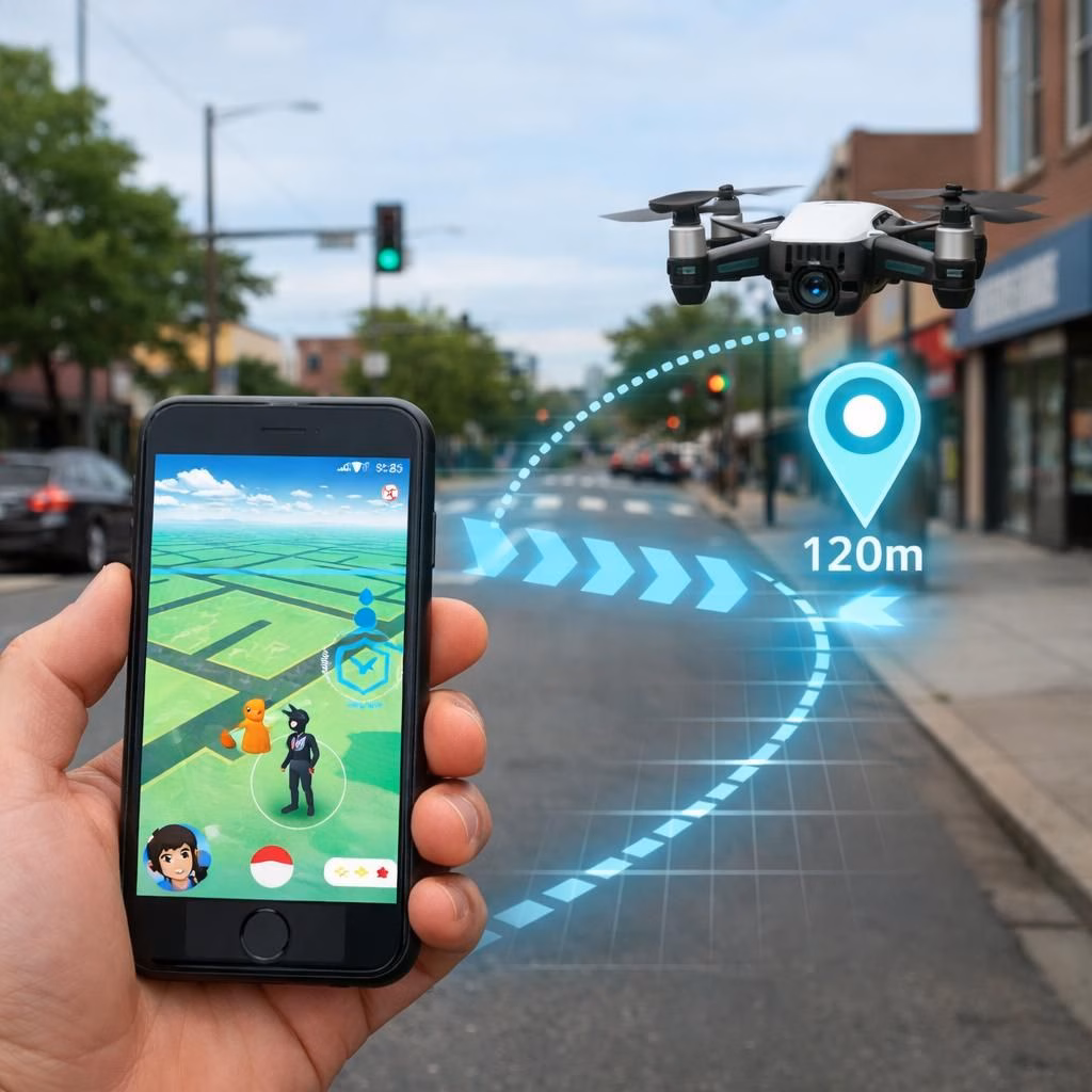
In 2026, Pokémon Go and military drones conversation isn’t about pockets stuffed with candy or sci-fi dreams; it’s about data travelers collect in the real world becoming training material for machines that fly. The core idea is simple: the more diverse data from urban environments, the better a drone can navigate around corners, stairs, and lamp posts without GPS anchors. In practice, crowdsourced observations—like where crosswalks line up with street furniture, where trees shade a narrow alley, or where construction fences alter a normally predictable path—can augment conventional maps. This isn’t about replacing maps; it’s about letting human-scale variety teach machine-scale resilience. When players and pilots share the same city, the city becomes a living testbed. The result is a collective intelligence that can help autopilots adapt in real time, in 2026 and beyond. As researchers point out, the trick is to translate casual, noisy observations into reliable signals that a drone’s navigation stack can trust. It’s less sci-fi and more field-tested pragmatism.
Pokémon Go and military drones: how playful scans shape navigation for serious machines
Environment-aware data can improve SLAM (Simultaneous Localization and Mapping) performance in cluttered urban canyons. Real crowdsourced scans provide variability such as temporary signs, improvised barriers, and pedestrian patterns that aren’t in preloaded datasets. When a drone uses a fusion of camera input, inertial measurement units, and scanned urban features, it gains robustness. The risk remains: privacy concerns, consent, and potential misuse; thus, we need governance, standards, and transparent data handling. The upside: improved path planning, faster route recalculation after disruptions, and more predictable behavior in GPS-denied environments. The conversations around this topic emphasize collaboration: city planners, hobbyists, and researchers can align on safe, ethical use cases. The result isn’t a secret weapon; it’s a shared tool for safer autonomous operations. We should celebrate the intersection of play data and serious engineering rather than fear it. For military drones, the approach offers practical resilience in tricky urban pockets.
From Pokémon Go maps to robust navigation for military drones in 2026
From a practical standpoint, the leap from a smartphone game to a drone system is all about data quality and integration. Hardware scientists explain that data from consumer devices can be noisy; service designers respond with calibration, filtering, and redundancy. The training pipelines incorporate ground-level cues using supervised learning and reinforcement signals that reward smooth navigation and compliant behavior near people. In the field, drones rely on redundant sensors: lidar, stereo cameras, and precise IMUs. In the lab, engineers simulate thousands of urban scenarios to stress-test routing logic. The delight here is that the same urban quirks that make Pokémon maps entertaining can also create resilient routes for real-world drones. The caution flag remains: we must avoid overreliance on any single data source; fusion across modalities is essential. Still, the story is hopeful: more robust navigation means safer flights, fewer mid-course corrections, and less downtime in critical missions in the year 2026 and beyond. Some researchers note that this approach can translate into mission-ready behavior for military drones in dense cities.
Practical implications for Pokémon Go players and drone teams
- Responsible participation: Pokémon Go players who opt in to city-scale testing should do so with consent and clear privacy boundaries.
- Data quality: Crowd-sourced cues should be labeled or flagged for anomalies, not treated as gospel.
- System design: Drones combine multiple sensors (lidar, cameras, IMUs) to avoid overreliance on any single data stream.
FAQ
- What is the link between Pokémon Go data and drone navigation? It provides field variety that can be used to train robust SLAM and path planning under GPS-denied conditions.
- Are there privacy concerns? Yes. Privacy and consent matter, and governance is essential to balance safety with public interest.
- Will this replace traditional maps? No—it’s a supplement that adds resilience and context to existing maps.
- Is this approach ready for widespread deployment? It shows promise, but it requires standards, governance, and extensive testing before large-scale use.
References
Further reading
- Simultaneous Localization and Mapping (SLAM) – Wikipedia
- FAA UAS resources
- IEEE Spectrum: Drones and autonomous navigation