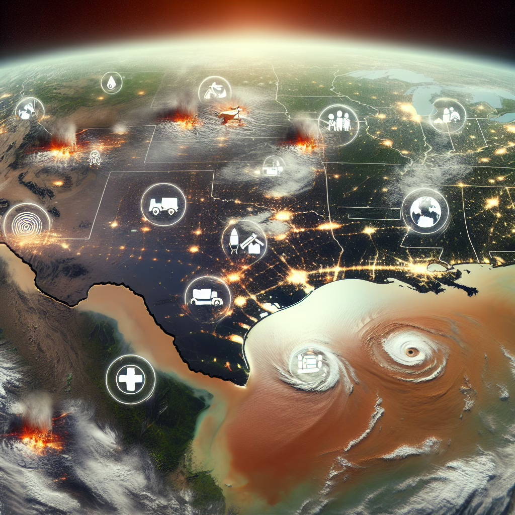
When the skies open up and unleash a torrent of water, Texas knows how to put on a show. But this isn’t just any old rain dance; it’s an epic saga of innovation where NASA’s specialized technology comes to the rescue during those infamous Texas floods. Let’s dive into this heroic tale of high-tech solutions meeting Mother Nature’s wrath!
Navigating the Waters: NASA’s Role in Flood Management
In a world where climate change seems to have taken a liking to extreme weather, Texas has become a stage for some dramatic flood scenes. Enter NASA, with its arsenal of satellite technology and data analysis capabilities. You might think they’re just out there looking at stars, but they’re also keeping an eye on our watery challenges right here on Earth!
NASA has been deploying its specialized technology, such as the Earth Observing System Data and Information System (EOSDIS). This system provides real-time data that helps local authorities assess flood risks effectively. Imagine having a crystal ball that not only sees the future but also helps you prepare for it. That’s what NASA does—minus the mysterious fog and creepy music.
How NASA Technology Saves the Day During Floods
So, how exactly does NASA’s tech save the day? Well, let’s take a closer look! When heavy rains soak the ground like a sponge at a water fight, NASA’s satellites swoop in to monitor these events from above. They gather critical information on precipitation, soil moisture levels, and even track changes in river flows. It’s like having a superhero with X-ray vision, but instead of spotting villains, they’re identifying potential flood zones!
This data is then shared with local agencies who need to make quick decisions. Thanks to this collaboration between NASA and state emergency services, responses to flood situations become swifter and more effective. It’s like having your own personal weather app that actually works!
The Texan Spirit: Resilience Meets Technology
Texas is known for its resilience—after all, everything is bigger in Texas, including their determination! When floods hit, communities band together like never before. With NASA’s specialized technology providing crucial insights, local responders can allocate resources better and keep residents informed.
Imagine neighbors helping each other out while also getting updates on water levels through their phones. It’s a beautiful mix of community spirit and cutting-edge tech! The synergy between man and machine ensures that when nature decides to throw a tantrum, we’re ready to take on the challenge.
Real-Life Applications of Satellite Data
To illustrate the effectiveness of NASA’s specialized technology, consider these practical applications:
- Flood Forecasting: Advanced modeling techniques use satellite data to predict potential flood areas, allowing residents to evacuate in advance.
- Emergency Response: Local agencies utilize real-time data from NASA to deploy resources efficiently and effectively during acute flood scenarios.
- Public Awareness: Information gathered helps inform the public, allowing residents to prepare for flooding through alerts and updates on their mobile devices.
The Future is Bright (and Dry!)
Looking ahead, one can’t help but feel optimistic about what lies ahead in flood management. With advancements in satellite technology and data analysis continually evolving, Texas will be better equipped to handle whatever Mother Nature throws its way. And who knows? Maybe one day we’ll have drones flying around making sure everyone stays dry!
In conclusion, NASA’s involvement during Texas floods showcases the power of innovation paired with community resilience. It reminds us that even when faced with daunting challenges, teamwork—be it human or technological—can lead us through the storm.
So next time you hear about Texas floods and NASA’s role in managing them, remember: it’s not just rain; it’s a testament to human ingenuity and collaboration against nature’s whims.
We’d love to hear your thoughts on how technology impacts disaster management! Feel free to share your insights in the comments below.
A big thank you to Jagran Josh for inspiring this article with their detailed report on NASA’s role in Texas flood management!

